Typhoons 7 and 8 move north near Japan, heavy rain alert widened
 2026-06-26
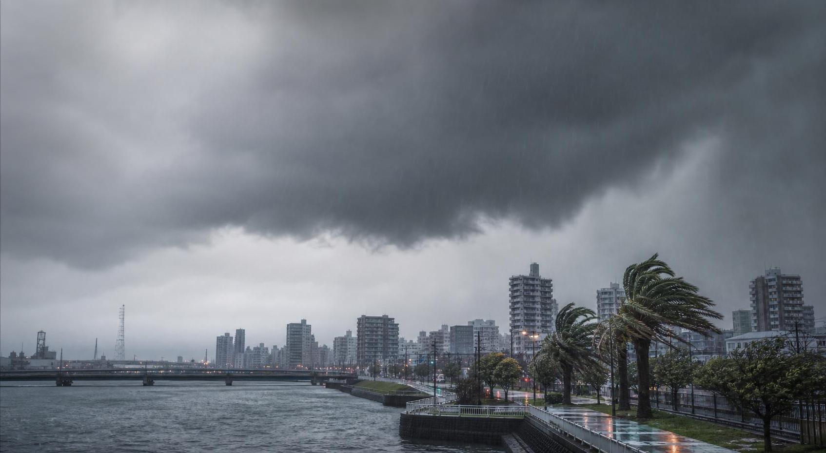
Typhoons 7 and 8 are moving north near Japan, raising the risk of heavy rain continuing across a wide area from the Nansei Islands to western and eastern Japan. The Japan Meteorological Agency urged caution over landslides, flooding and river inundation.
Heavy rain to linger as typhoons approach
Typhoon 7 was moving north near the Nansei Islands on the 26th with storm-force winds, and is expected to approach the Pacific side of western and eastern Japan on the 27th. Typhoon 8 is also expected to move north south of Japan until around the same day and is seen weakening into an extratropical cyclone around the 27th. Warm, moist air is likely to flow toward the Pacific side and intensify the activity of a stationary rainy-season front.
Linear rain bands and transport disruption
Late on the 25th, the Japan Meteorological Agency issued a half-day forecast saying there was a risk of linear rain bands developing over Okinawa main island from the early morning to late morning on the 26th. It also issued a just-before forecast for Fukuoka, Kumamoto and Oita prefectures from the night of the 25th into the early hours of the 26th.
As of 5 a.m. on the 26th, Typhoon 7 was moving north-northeast at about 20 kph north of Kumejima in Okinawa Prefecture. The central pressure was 985 hectopascals and the maximum wind speed near the center was 30 metres per second. After approaching the Nansei Islands, it is expected to shift eastward and pick up speed.
Transport services are also being affected. JR Tokai said on the 25th that suspensions and delays could occur on the Tokaido Shinkansen from the first services on the 27th in some time periods and sections. JR East also said delays and suspensions may occur in the Kanto area from the morning of the 27th to the morning of the 28th.
According to the Fire and Disaster Management Agency of the Ministry of Internal Affairs and Communications, evacuation orders due to heavy rain had been issued to a total of 774,778 people in Yamaguchi, Fukuoka, Saga, Nagasaki, Kumamoto and Oita prefectures as of 2 p.m. on the 25th. The 24-hour rainfall forecast through midnight on the 27th calls for as much as 150 mm in Kanto-Koshin, 180 mm in northern Kyushu, and 200 mm in Kinki, Tokai and Shikoku.
Enjoyed this article? Share it with your network!