





Typhoon No. 6 nears Okinawa and Amami, likely to bring storm-force winds on June 1-2
 2026-05-29
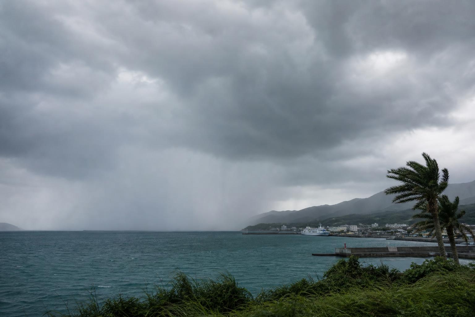
Typhoon No. 6 moved northward east of the Philippines on the 29th. The Japan Meteorological Agency said it is expected to approach Okinawa and Amami with strong intensity and storm-force winds from June 1 to 2, and could then move closer to Kyushu, Shikoku and Kinki on the 3rd before approaching Tokai and Kanto-Koshin.
Heavy rain warnings possible in Okinawa and Amami
Seas are expected to become very rough in some areas from Okinawa and Amami to western and eastern Japan. Depending on the track, there is also a risk of heavy rain requiring warnings and storm surges.
Rainbands from the typhoon are affecting the region
As of 3 p.m. on the 29th, Typhoon No. 6 was moving northwest east of the Philippines at about 20 km/h. Its central pressure was 998 hectopascals, with maximum sustained winds near the center of 18 meters per second and maximum gusts of 25 meters per second.
In Okinawa and Amami, heavy rain requiring warnings and storm surges are expected from June 1 to 2 due to the typhoon itself and surrounding rainbands. On the Pacific side from Kyushu to Kanto, there is a risk of heavy rain around June 2 to 3 due to a front and the typhoon, and vigilance is needed for landslides, flooding in low-lying areas and rising river levels.
Enjoyed this article? Share it with your network!